Tags
Innovation
Sort By

Article
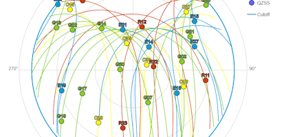
Engineering GNSS certainty: Precision, dependability and R&D insights
Modern high-precision positioning relies on a multi-layered defense system covering space, atmosphere, hardware and cybersecurity to de...
Article
Unlock peak precision: why GNSS and correction availability matters
While advanced GNSS technologies require a financial commitment, the long-term gains can be considerable. Here are three important fact...
Article
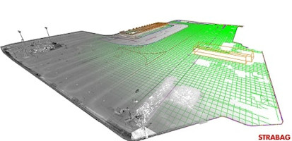
5 ways Trimble is making airports faster and safer
Airports are critical nodes in the global transportation network, requiring precision, safety and efficiency in their construction and ...
Article
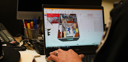
Webinar series: Trimble Forensics Reveal and SketchUp integration
Designed to showcase the benefits of the Trimble ecosystem and SketchUp design software, the Trimble Forensics Reveal and SketchUp webi...
Article
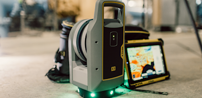
3D laser scanning: New opportunities for surveying and mapping professionals
By collecting dense point clouds and color imagery in a fraction of the time, 3D laser scanning technology provides value for many appl...
Article
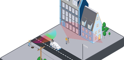
Streamlining FTTH projects with GNSS and mobile mapping
Explore how advanced geospatial solutions are transforming each stage of the fiber to the home (FTTH) project lifecycle, making the pro...

Article
Taking advantage of Trimble TIP positions in Esri ArcGIS Field Maps
Users of Esri ArcGIS Field Maps can leverage Trimble’s industry-leading high-accuracy GNSS receivers using Trimble® Mobile Manager (TMM...
Article
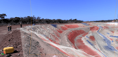
How Trimble mining solutions connect and elevate workflows for mining professionals
Introducing a new mining subscription for Trimble® Business Center (TBC) software, bringing functionality for above-ground and undergro...

Article
Geotechnical monitoring a heritage-listed bridge underpass in Brisbane
RPS ensured the stability of Brisbane, Australia's heritage-listed Story Bridge during a construction project using a Trimble automatic...

Article
5 ways scanning total stations make topographic surveys faster for surveyors
Explore how having a scanning total station as part of your equipment will give you comprehensive data collection, minimize rework, str...

Article
Exploring the enhanced capabilities of the Trimble MX60 mobile mapping system
In this Q&A, we delve into the new features of the Trimble® MX60 mobile mapping system and the software compatibility designed to maxim...

Article
Transforming laser scanning with auto-calibration
Auto-calibration in a 3D laser scanner offers a transformative approach to maintaining instrument accuracy, significantly enhancing the...
Article
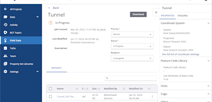
Streamline field data with Trimble Connect Field Data extension
Streamline field data management with the Trimble® Connect® Field Data extension to securely upload, manage, review and process data co...

Article
Simplifying scanning: the advantages of self-leveling technology
Self-leveling technology not only streamlines 3D laser scanning operations, especially in challenging terrain, but also provides unpara...

Article
The power of 3D laser scanning: A surveyor’s secret to cutting costs, boosting data capture and winning jobs
See how the ability to swiftly gather data through 3D laser scanning means surveyors can tackle more projects within the same timeframe...

Article
Overcoming the challenges of GNSS surveying
From its origins as the Global Positioning System (GPS), to the creation of advanced GNSS receivers, GNSS surveying has faced common ch...
Article
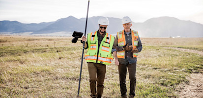
Your Trimble GNSS receiver: Protection against GNSS spoofing
Protect your GNSS receiver from spoofing with technology that identifies and rejects false satellite signals to prevent dangerously ina...

Article
What’s possible with Trimble Maxwell 7 technology
Discover how Trimble® Maxwell™ 7 technology enables GNSS receivers to get fast, reliable, and accurate positions, even in the most chal...