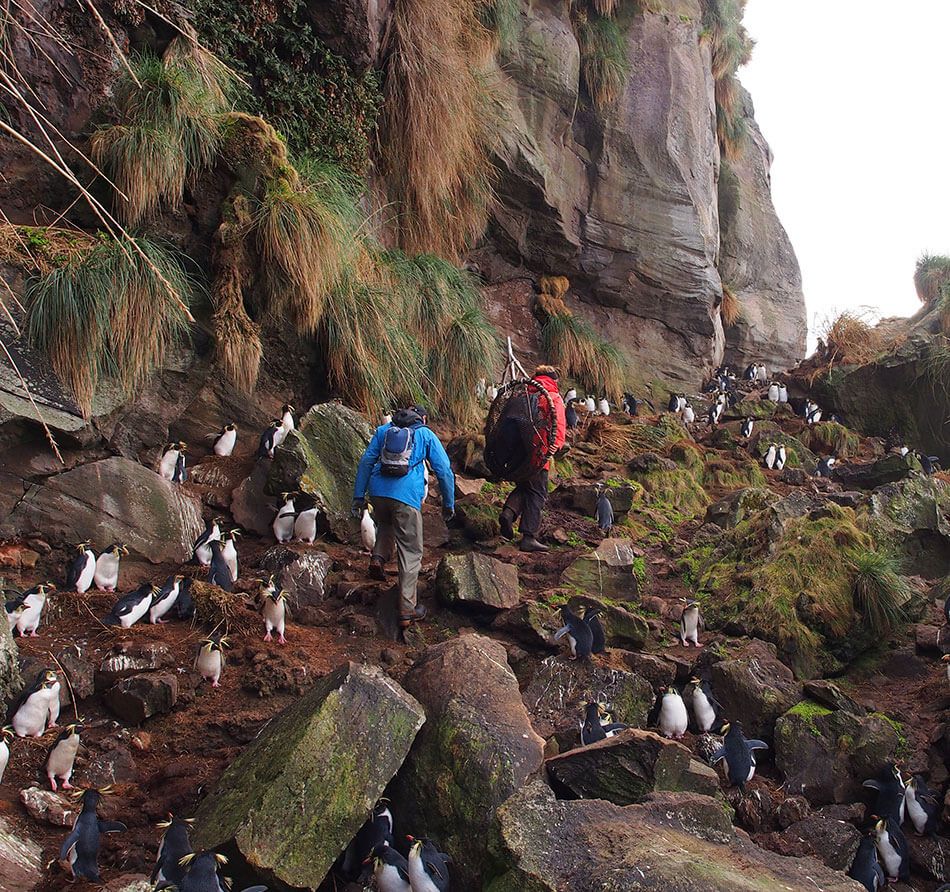
British teams are working to preserve populations of native birds on an isolated island. Precise GNSS date provides key data to help protect nests from invasive rodents.
British teams are working to preserve populations of native birds on an isolated island. They collect precise GNSS data that will help scientists develop systems to help protect the nest of these beautiful birds from invasive rodents
Houston would support the RSPB efforts by gathering topographic and geotechnical information, including mapping with GNSS. The work required collecting survey data accurate to a few centimeters. But Gough Island lacks the positioning infrastructure to support precise measurement.
Faced with a demanding schedule and tight requirements for positioning, Houston turned to Trimble® CenterPoint® RTX and a Trimble R10® GNSS receiver to achieve the needed accuracy and productivity. Using the R10 with a Trimble TSC3 controller running Trimble Access field software, Houston collected hundreds of 3D points around the project site.
He captured the location of existing structures and features, test pits for soil evaluation and ground points for use in topographic modeling. Using the display on the TSC3, he could follow his progress and make sure he covered the necessary ground.
Despite working more than a thousand kilometers from the nearest GNSS reference station, Houston achieved centimeter accuracy on all survey points; typically three to five centimeters in both the horizontal and vertical components.
Approach
A self-described “rookie surveyor,” Houston quickly learned to operate the GNSS equipment. With CenterPoint RTX operating transparently, he could focus on the engineering aspects of his work.
At the end of each day, Houston reviewed data on the controller, planned the next day’s work and set up the system batteries for recharging. In addition to the engineering data, Houston captured several points on the existing helipad and building foundations that will serve as reference points for the upcoming work on the island.
Results
Houston departed Gough Island with survey data sufficient for the design work ahead. Taylor & Boyd developed 2D contour maps and 3D terrain models of the site, which they shared with RSPB. The data, which is the first topographical survey ever carried out on the base since it was established in 1963, will also aid the South African government in the maintenance and operations of its island facilities.
“The CenterPoint RTX was invaluable for the success of the project. If this technology works on Gough Island, then it will work anywhere,” says John Houston, Consulting Structural and Civil Engineer at Taylor & Boyd.


