Positioning Services resources
Explore all resources for Trimble Positioning Services

Featured content

A perfect landing with improved accuracy and efficiency
The UK Ministry of Defence engaged Thales Group to survey its airfields across the UK and abroad, de...

Precise GNSS helps researchers understand the behavior of active volcanoes
Explore the ways researcher Juraj Papčo uses Trimble CenterPoint RTX to capture data with accurate G...

A South African family farm in the Western Cape embraces high-precision guidance
Farming oats, barley and canola can be laborious, fatiguing and less than precise. Learn how a farme...
Industry
Workflow
Topic
Sort By

Article
Engineering GNSS certainty: Precision, dependability and R&D insights
Modern high-precision positioning relies on a multi-layered defense system covering space, atmosphere, hardware and cybersecurity to de...

Article
Why legacy GNSS signals require modern data protection
Unverified satellite signals put precision surveying projects at risk from jamming, spoofing and orbit errors. Discover how Trimble RTX...

Document
White paper: Centimeter-level positioning for software-defined vehicles
Discover how Qualcomm and Trimble bring centimeter-level positioning to software-defined vehicles.

Article
Why precise positioning is critical to the future of autonomous mobility
As autonomy evolves, one thing is clear: vision alone isn't always good enough. Combining satellite and sensor data is required to prov...
Article
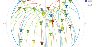
The precision principle: Why system-wide GNSS availability is non-negotiable
Unlock peak GNSS precision. See why the key to field productivity is holistic availability across constellations, signals and correctio...
Article
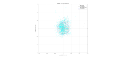
Under the hood: How modern GNSS achieves precision
See how modern GNSS achieves precision. We break down the tech: from satellite geometry (DOP) and ionospheric modeling to the power of ...

Article
5 ways to use RTK and RTX to maximize your productivity
Use this practical framework to compare conventional, post-processed and real-time workflows, and unlock new levels of productivity by ...

Article
Visualizing resilience: Real-world proof of ionospheric mitigation
During a period of ionospheric activity recently, a GNSS receiver using corrections with specialized ionospheric mitigation technology ...

Case Study
Making "impossible" GNSS shots possible
Benchmark Surveys cut a seven-day topo project to two days using the Trimble R12i GNSS system. For a road survey with dense hedges, Pro...

Article
Surveying the depths: The impact of real-time GNSS data
Learn how hydrographic surveying provides confidence for safe navigation, coastal development, and marine ecosystem protection. Explore...

Case Study
Maximizing surveying efficiency with Trimble CenterPoint RTX technology
See how WGI, a leading engineering and design firm in the United States, delivers precise data and reliable surveying while completing ...

Document
White paper: Trimble xFill correction service
Don't let RTK correction outages stop your survey. Learn how Trimble xFill provides seamless, precise positioning to maximize productiv...

Article
Driving safety forward: How Trimble's ASIL-certified positioning systems are helping transform automotive safety
Explore how Trimble® provides advanced positioning solutions for automotive applications, ensuring the highest levels of safety and rel...
Article
Adding value to a surveyor's toolset: 5 uses for correction services
When should surveyors use Trimble CenterPoint RTX? Learn 5 ways it boosts productivity for high-accuracy jobs, in remote areas or as a ...
Document
eBook: GNSS correction services, ionospheric activity and Trimble RTX
How to protect your farm's bottom line amid solar cycles, satellite disruptions and an erratic ionosphere when every centimeter counts.

Case Study
A dealer’s hands-on experience leads to improvements in farming
See how GPS Ontario eliminated their concern for year-to-year accuracy on their farm by using Trimble CenterPoint RTX to provide high-a...

Article
STRABAG Switzerland goes all-digital with Trimble on pilot Swiss road reconstruction project
For an all-digital Swiss road pilot project, STRABAG's connected Trimble® workflow eliminated rework and delivered a 100% accurate digi...

Article
Forget the base and look up
See how adding technologies like GNSS corrections to your workflow streamlines the process by increasing speed and efficiency with a so...
Industry
Workflow
Topic
Sort By
Document
White paper: Centimeter-level positioning for software-defined vehicles
Discover how Qualcomm and Trimble bring centimeter-level positioning to software-defined vehicles.
Case Study
Making "impossible" GNSS shots possible
Benchmark Surveys cut a seven-day topo project to two days using the Trimble R12i GNSS system. For a road survey with dense hedges, Pro...
Case Study
Maximizing surveying efficiency with Trimble CenterPoint RTX technology
See how WGI, a leading engineering and design firm in the United States, delivers precise data and reliable surveying while completing ...
Document
White paper: Trimble xFill correction service
Don't let RTK correction outages stop your survey. Learn how Trimble xFill provides seamless, precise positioning to maximize productiv...
Document
eBook: GNSS correction services, ionospheric activity and Trimble RTX
How to protect your farm's bottom line amid solar cycles, satellite disruptions and an erratic ionosphere when every centimeter counts.
Case Study
A dealer’s hands-on experience leads to improvements in farming
See how GPS Ontario eliminated their concern for year-to-year accuracy on their farm by using Trimble CenterPoint RTX to provide high-a...

Case Study
Mapping the Canadian Arctic: CenterPoint RTX Marine delivers accuracy in uncharted waters
Learn how Trimble assisted The University of New Brunswick in exploring Canada’s Arctic by providing reliable and accurate data for hyd...
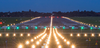
Case Study
A perfect landing with improved accuracy and efficiency
The UK Ministry of Defence engaged Thales Group to survey its airfields across the UK and abroad, delivering accurate positioning data ...
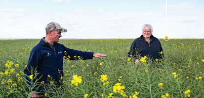
Case Study
A South African family farm in the Western Cape embraces high-precision guidance
Farming oats, barley and canola can be laborious, fatiguing and less than precise. Learn how a farmer in South Africa delivers efficien...
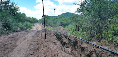
Case Study
Pipeline mapping in central Argentina
See how precise point positioning added efficiency, precision and cost-saving results to a 1500-km pipeline project using Trimble® tech...
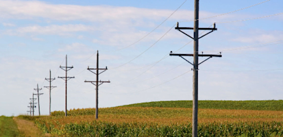
Case Study
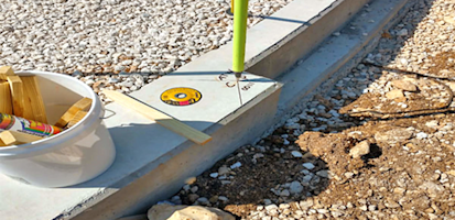
The straight talk on staking electric lines
Learn how fast, accurate positioning gave an electric line design and staking company a competitive advantage.
Case Study
Maintaining precise positioning and saving time on remote pipeline projects
Explore how adding a positioning service energized large pipeline surveying projects and became a field crew favorite in Michigan.
Case Study
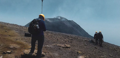
Precise GNSS helps researchers understand the behavior of active volcanoes
Explore the ways researcher Juraj Papčo uses Trimble CenterPoint RTX to capture data with accurate GNSS positioning to predict volcanic...

Case Study
Surveyors achieve productivity and accuracy remotely with Trimble CenterPoint RTX
Cape Survey Ltd. explains how it reduced time and costs using Trimble RTX technologies to survey a site for a wind farm in South Africa...

Case Study
More visibility into user activity
Norwegian survey firm puts the game-changing Trimble VRS Now network to work.

Case Study
Improving productivity on a no-till farm with Trimble CenterPoint RTX
Learn how a no-till farmer saves time and money operating in dry, windy conditions using Trimble CenterPoint RTX to apply seed and fert...
Case Study
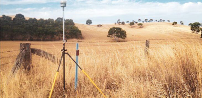
Accuracy and efficiency in remote locations
An Australian surveying firm shows how Trimble GNSS correction services helped their geospatial professionals quickly achieve centimete...
Case Study
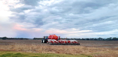
Using precision technology to teach the next generation of farmers
Technology is the future of farming. Explore the ways Western Australia College teaches high school students farm tech that will save t...
Industry
Workflow
Topic
Sort By
Document
eBook: GNSS correction services, ionospheric activity and Trimble RTX
How to protect your farm's bottom line amid solar cycles, satellite disruptions and an erratic ionosphere when every centimeter counts.
Industry
Workflow
Topic
Sort By
Document
White paper: Centimeter-level positioning for software-defined vehicles
Discover how Qualcomm and Trimble bring centimeter-level positioning to software-defined vehicles.
Document
White paper: Trimble xFill correction service
Don't let RTK correction outages stop your survey. Learn how Trimble xFill provides seamless, precise positioning to maximize productiv...
Document
White paper: Introducing ambiguity resolution in web-hosted global multi-GNSS precise positioning with Trimble RTX-PP
Get centimeter accuracy from your GNSS data. Learn how Trimble RTX post-processing delivers precise static and kinematic positioning wi...
Document
White paper: Trimble RTX — A new approach for network RTK
This paper details Trimble RTX network technology, delivering centimeter-accurate positioning with <1 minute initialization and superio...
Document
White paper: Trimble RTX — Next-generation GNSS positioning
This paper details Trimble CenterPoint RTX, a technology combining RTK productivity with PPP coverage for cm-level, real-time accuracy ...